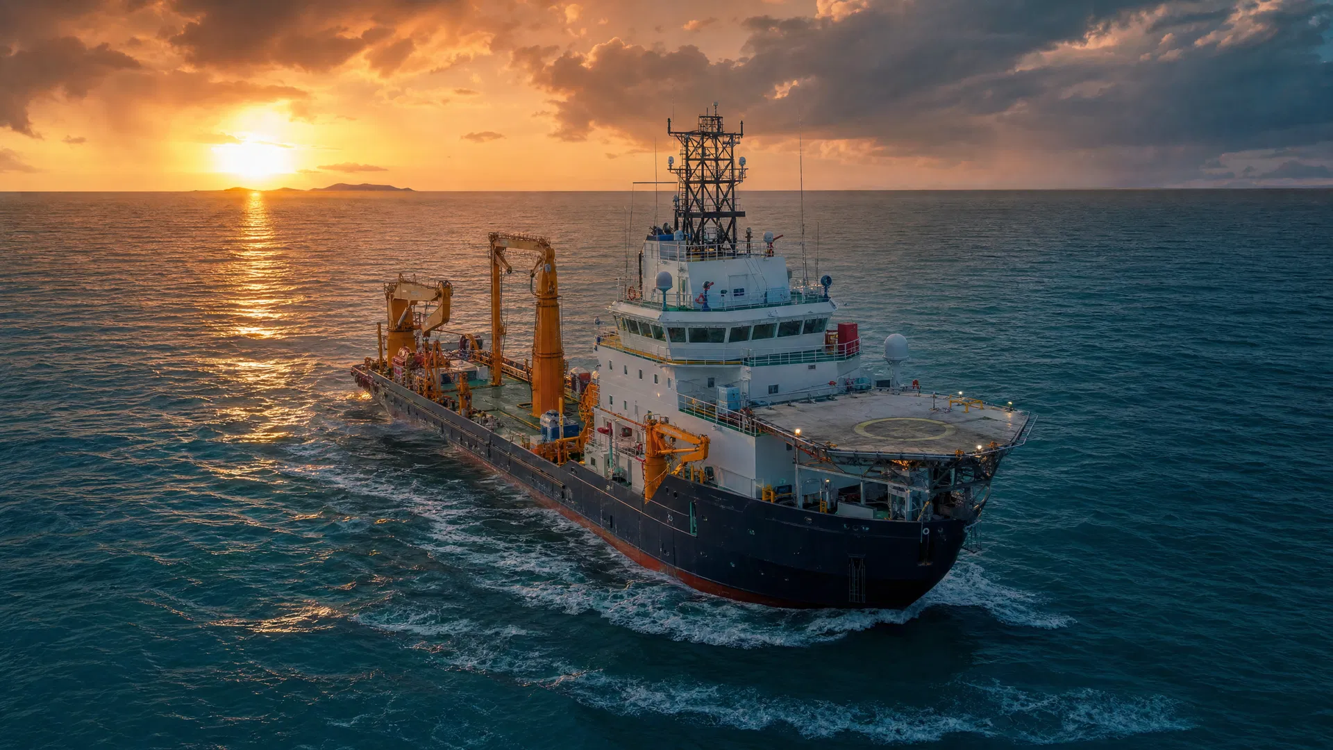
Precision Offshore Intelligence for Safer Marine Decisions
Integrated survey, positioning, metrology, geophysical, geotechnical and environmental services for energy, marine, shipping and exploration projects.
Need this in an accessible format? Email us and we will send an alternative. info@cenenergygroup.com
What are you delivering?
Pick the closest fit and we'll point you to the right survey support.
Site Investigation & Design
Understand seabed and ground conditions before you design or commit.
ExploreConstruction Support
Install and verify subsea infrastructure safely and within tolerance.
ExploreInspection & Integrity
Confirm the condition and integrity of pipelines, cables and assets in service.
ExploreEnvironmental & Permitting
Get the baseline and monitoring data needed for permits and compliance.
ExploreNot Sure What I Need
Tell us about your project and we'll help define the survey scope.
Talk to usYour Trusted Offshore Survey and Marine Geoscience Partner
CENENERGY is a specialist offshore survey and marine geoscience company supporting clients across the offshore oil and gas, marine infrastructure, shipping, environmental and exploration sectors. We provide integrated survey solutions that help operators, contractors and asset owners understand seabed conditions, position offshore assets accurately, manage installation tolerances, verify subsea infrastructure and make confident engineering decisions.
Through competent personnel, fit-for-purpose technology, disciplined project execution and robust data management, CENENERGY transforms complex offshore field data into reliable information for planning, design, installation, inspection and operational decision-making.
Trusted offshore survey partner known for precision, responsiveness and technical integrity.
Deliver reliable offshore data solutions that help clients plan, install, inspect and operate marine assets safely.
Why We Created CENENERGY
CENENERGY was established to provide focused offshore survey, positioning, inspection and marine geoscience support for offshore projects.
Purpose
To give offshore teams dependable, decision-ready survey data from a focused specialist provider.
Operating Philosophy
Scope each campaign around the decision it must support, execute with disciplined QA/QC, and deliver results engineers and operators can act on.
Client Focus
Responsive and straightforward to work with, with clear communication between vessel, survey, ROV, construction and client teams.
Practical Execution
From planning through fieldwork to reporting, the priority is dependable results and a clean handover — not unnecessary complexity.
Integrated Offshore Survey Capability
Offshore Positioning & Construction Support
Surface and subsea positioning for offshore construction and marine operations.
Oil & Gas · MarineView serviceSubsea Metrology & Dimensional Control
Relative position, heading, elevation and alignment to tight tolerances.
Oil & GasView serviceHydrographic & Bathymetric Survey
High-resolution seabed depth mapping from coastal to deepwater.
Shipping · MarineView serviceMarine Geophysical Survey
Seabed and shallow-subsurface characterisation and geohazard screening.
Oil & Gas · ExplorationView serviceGeotechnical Investigation Support
Ground-model inputs for foundation, burial and anchoring design.
Oil & Gas · Offshore WindView servicePipeline, Cable & Asset Inspection
Pre-lay through life-of-field inspection and IRM support.
Oil & Gas · MarineView serviceEnvironmental & Metocean Survey
Baseline and operational data for environmental assessment and regulatory submission.
EnvironmentalView serviceData Processing & Digital Deliverables
Quality-controlled processing, interpretation and reporting in client-ready formats.
All SectorsView serviceFind the Right Survey Support
Grouped by the outcome you're working towards — each links to the services that deliver it.
Site Investigation & Design
Understand seabed and ground conditions before you design or commit.
Construction Support
Install and verify subsea infrastructure safely and within tolerance.
Inspection & Integrity
Confirm the condition and integrity of pipelines, cables and assets in service.
Environmental & Permitting
Get the baseline and monitoring data needed for permits and compliance.
Data & Deliverables
Turn survey data into interpretation-ready, engineering-grade outputs.
From Surface to Seabed — Precision at Every Depth
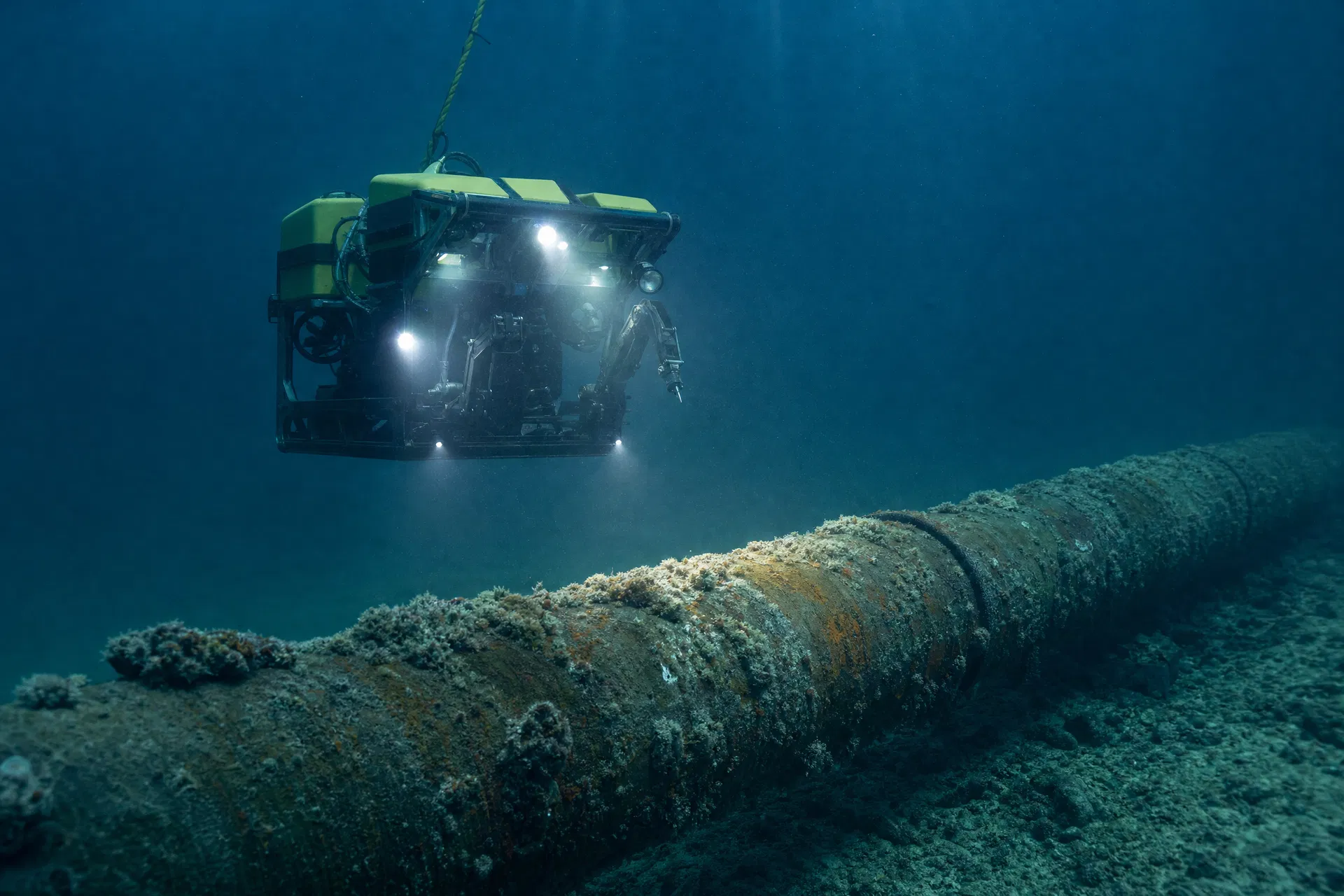
CENENERGY's subsea positioning and inspection capability supports the full range of offshore construction and integrity activities — from rig moves and FPSO hook-ups to ROV-based pipeline inspection and subsea metrology for critical tie-in operations.
Our teams work to maintain clear operational awareness, accurate coordinate control and reliable field communication between vessel, survey, ROV, construction and client representatives — resulting in safer installation, improved tolerance control and stronger confidence in final asset location.
From Site Investigation to Decommissioning
Concept & Screening
Desktop review, survey planning, route strategy and data-gap identification.
Site Investigation & Design
Hydrographic, geophysical, geotechnical and environmental survey with interpretation-ready deliverables.
Installation & Construction
Positioning, metrology, dimensional control, ROV support and as-installed verification.
Operations & Maintenance
Inspection survey, pipeline/cable survey, free-span assessment and asset-integrity reporting.
Life Extension & Decommissioning
Baseline re-survey, asset verification, seabed clearance and decommissioning support.
A Clear, Predictable Way of Working
Every engagement follows the same disciplined path — from understanding your objective to delivering interpretation-ready outputs — so working with CENENERGY is predictable and professional.
Define Requirements
We start from the decision the survey must support — objective, deliverable requirements, tolerances and constraints — so scope is driven by need, not a standard product list.
Plan Survey Scope
We set methods, coverage, accuracy targets and QA/QC criteria, and review data gaps against existing information before mobilising.
Mobilize Resources
We organise fit-for-purpose personnel and survey systems against the agreed scope, schedule and HSE requirements.
Acquire Data
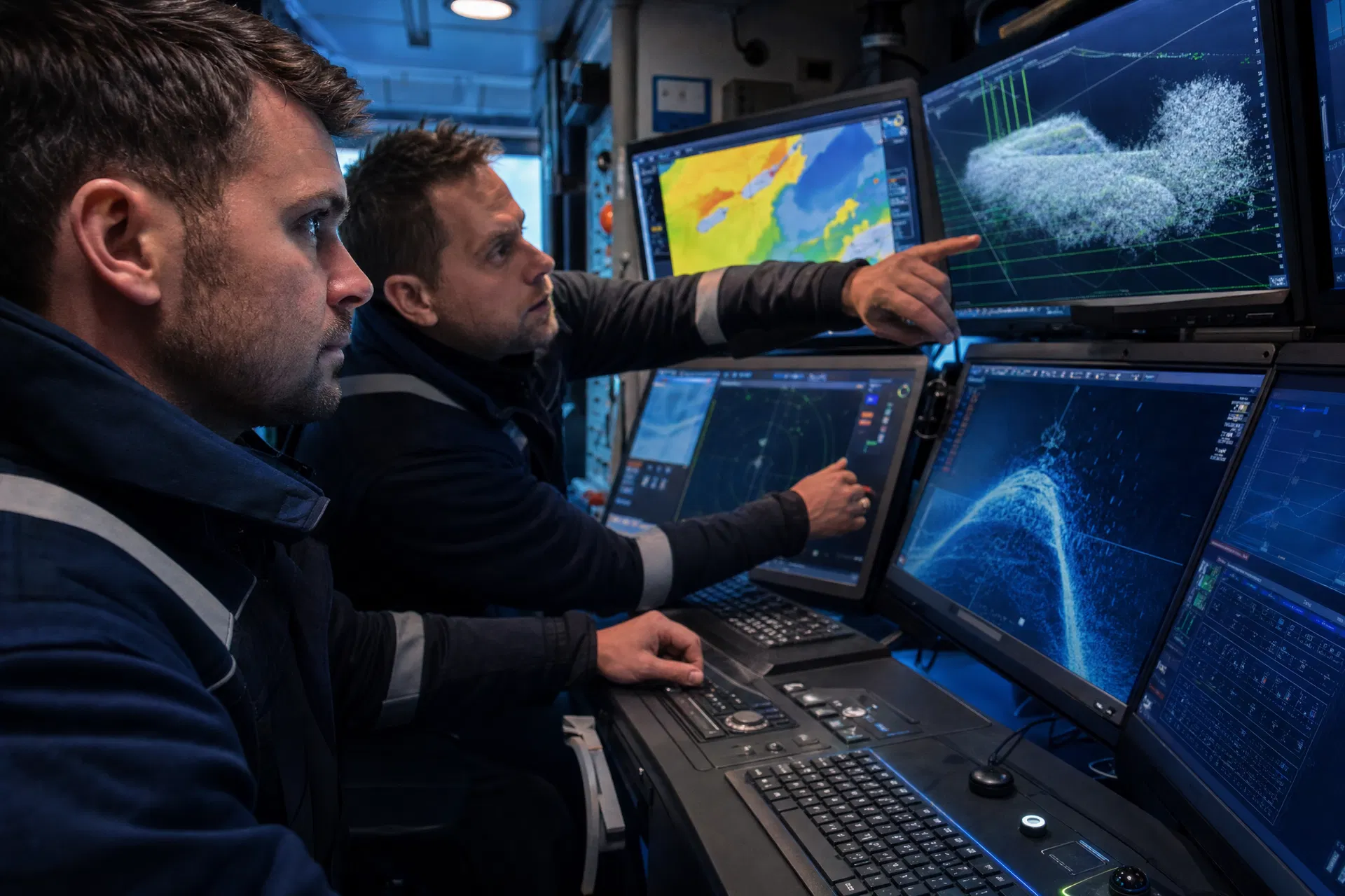
Disciplined field acquisition with real-time quality monitoring, documented procedures and clear communication between vessel, survey, ROV and client.
Process & QA/QC
Structured processing with defined quality control at each stage to ensure data integrity and full traceability.
Interpret Results
Experienced interpretation that turns measurements into engineering-relevant findings, anomalies and recommendations.
Deliver Client Outputs
Interpretation-ready deliverables in your required formats, with a clear reporting summary and structured handover.
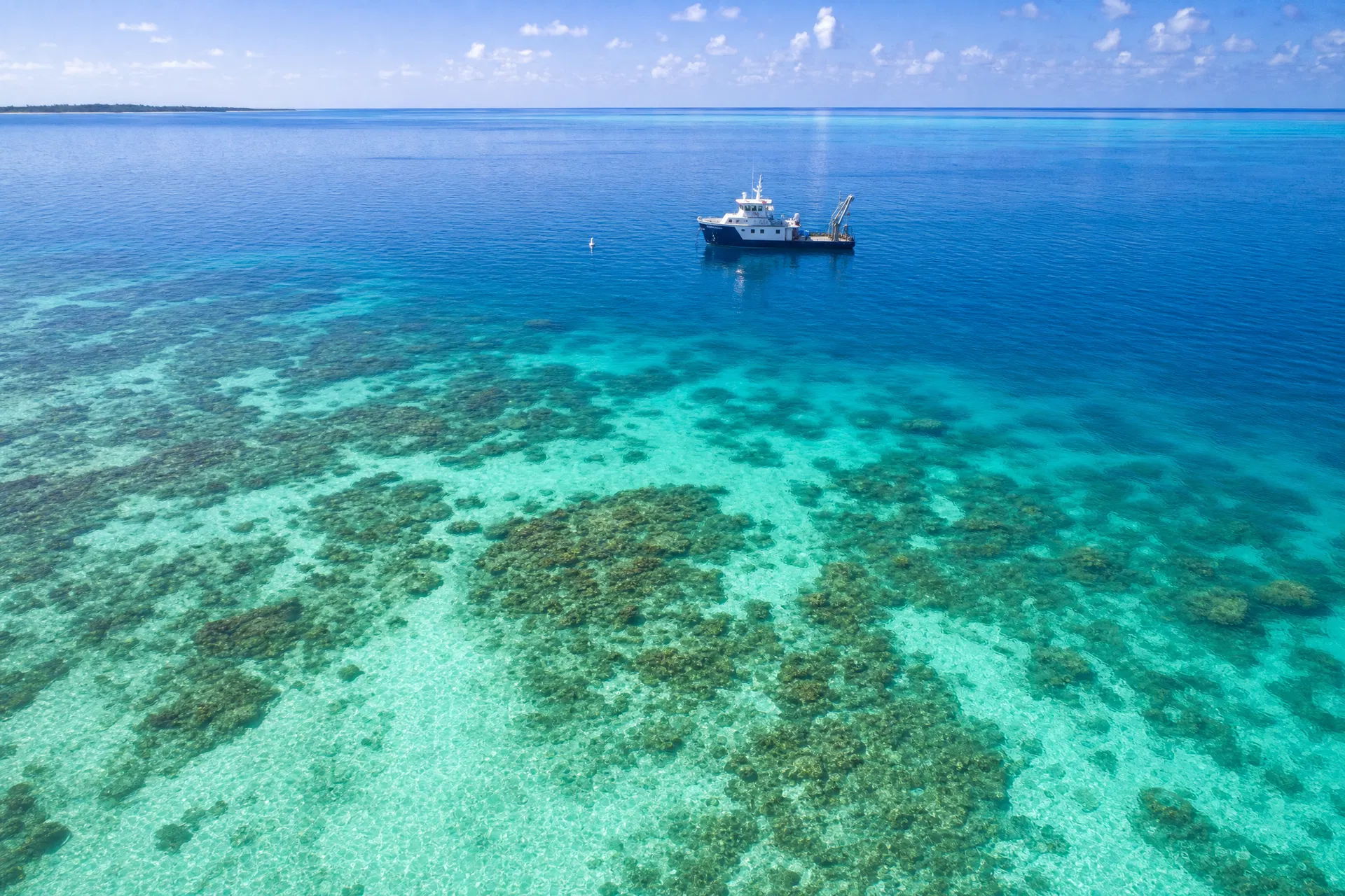
Supporting Marine Environmental Stewardship
CENENERGY supports environmental and metocean survey activities that provide baseline and operational data for marine projects. Our environmental support services include habitat and seabed mapping, water-column profiling, environmental baseline surveys, turbidity monitoring, current and tide measurements, and reporting inputs for environmental impact assessments or regulatory submissions.
Environmental responsibility is reflected in careful survey planning, efficient field execution, waste and pollution-prevention awareness, and active support for environmental monitoring requirements across all project types.
The Teams We Support
We work with the people responsible for getting offshore work scoped, installed, inspected and signed off — focused on the problem each is solving.
Offshore Construction Managers
Installing subsea structures and pipelines on schedule and within tolerance.
See relevant servicesEPC Project Managers
Delivering a whole offshore scope with one accountable, integrated survey partner.
See relevant servicesSurvey Managers
Sourcing a competent survey subcontractor with dependable data quality and formats.
See relevant servicesAsset Integrity Teams
Confirming pipeline, cable and structure integrity over the life of field.
See relevant servicesPipeline Engineers
Routing, burial and as-built verification without geohazard surprises.
See relevant servicesEnvironmental Managers
Baseline, metocean and monitoring data for permitting and compliance.
See relevant servicesProcurement Teams
Qualifying a capable supplier and getting a clear capability statement.
See relevant servicesTypical Enquiries We Support
Why Clients Engage CENENERGY
Not slogans — how we are set up to work. These are the practical reasons a client chooses CENENERGY for an offshore survey scope.
Survey scoped around the decision
Each campaign is planned from the engineering or operational question it must answer, so the deliverable is usable for the next decision — not just a standard data set.
Integrated, multi-discipline survey
Positioning, hydrographic, geophysical, geotechnical, environmental and inspection capability from one provider, so seabed, subsurface and positioning data are interpreted together rather than in silos.
Lifecycle coverage
Support from concept and site investigation through installation, inspection and decommissioning, carrying the same data context across the project.
Engineering-ready deliverables
Reports and data structured for engineering, construction, operations and regulatory use — written to be used, not just archived.
Responsive, fit-for-purpose execution
Methods matched to the requirement, with clear field communication between vessel, survey, ROV, construction and client representatives.
Specialist technical focus
A concentrated focus on offshore survey and marine geoscience — accurate measurement, disciplined QA/QC and data integrity.
"We provide the survey, positioning and inspection data that offshore teams use to plan, install and verify subsea infrastructure with confidence."
Discuss Your Offshore Survey Requirements
Whether you are planning a site investigation, need construction support, require pipeline inspection or are seeking environmental survey data, CENENERGY's team is ready to help you scope the right solution.
Not sure exactly what you need? Tell us about your project — objective, location, timing and the decision it supports — and we'll help define the survey scope.
Send an Enquiry
Interested in joining our team? Visit our Careers page.